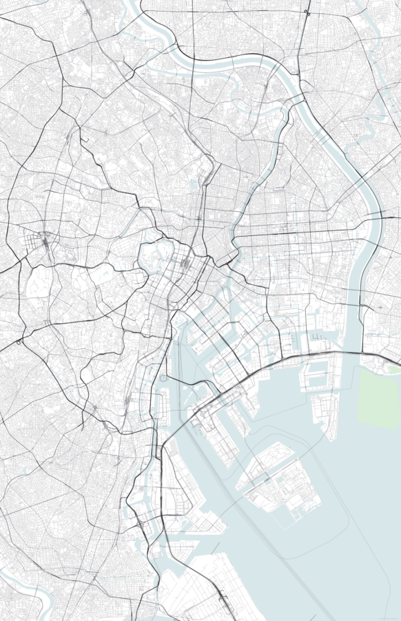
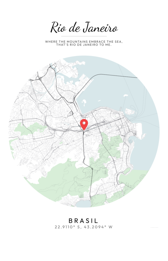
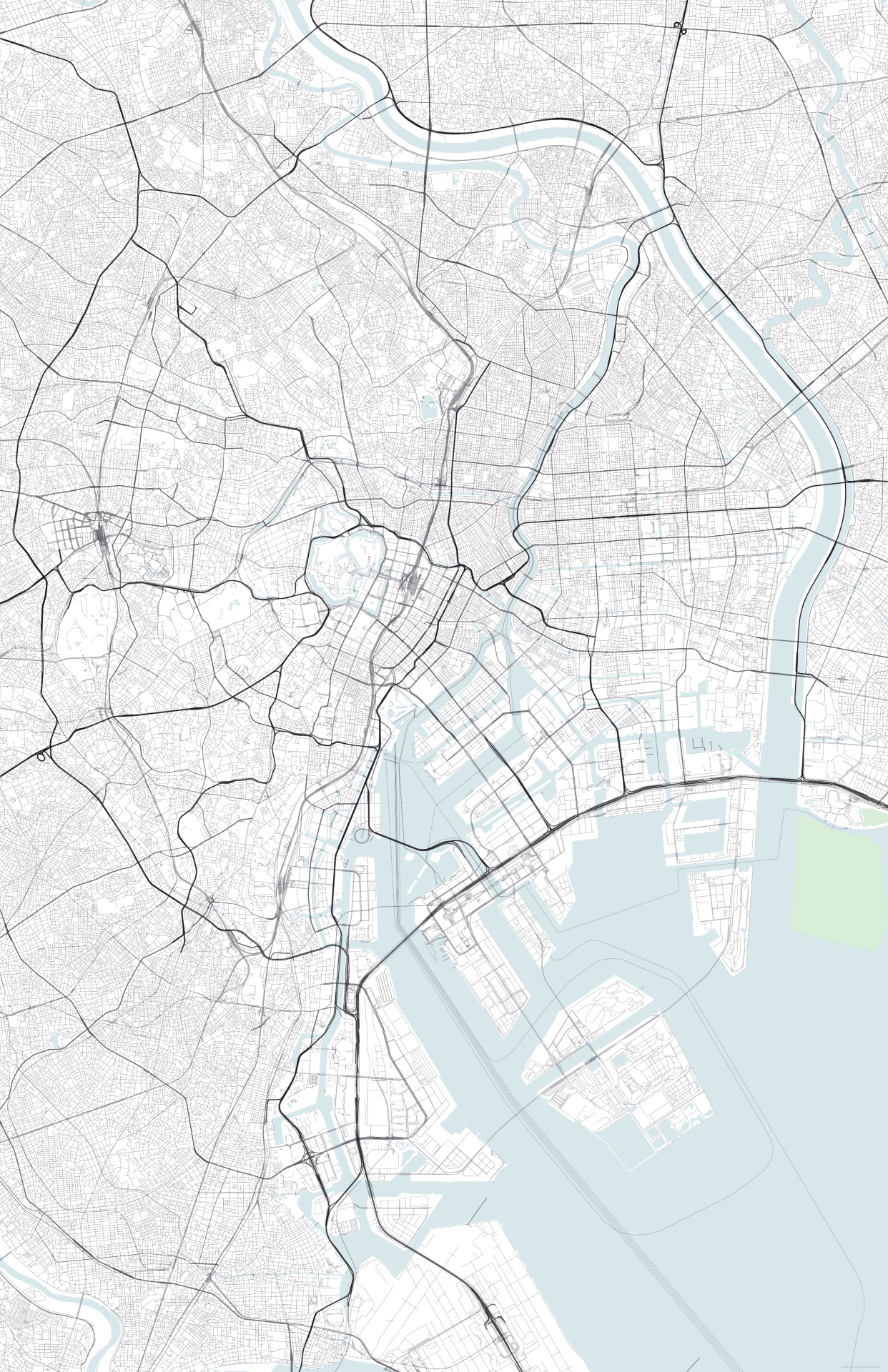
The image is a high-resolution, minimalist vector map featuring a complex network of urban infrastructure. The layout utilizes a top-down, orthographic projection that emphasizes the intricate web of thin, black primary arteries against a secondary mesh of lighter grey streets. The color palette is strictly restrained to a “blueprint” aesthetic: a clean white background, pale blue-grey for water bodies, and varying weights of monochrome lines for the grid. The graphic behavior is characterized by high information density and technical precision, with the organic curves of the coastline and river systems providing a visual contrast to the rigid, geometric urban blocks.
This design is perfect for a large-format minimalist wall art piece or a hero background for a technical web application. Its clean lines and neutral tones allow it to integrate seamlessly into modern-industrial or Scandi-style interiors without overwhelming the room’s visual balance. Because the design prioritizes structural clarity over labeled data, it functions more as a sophisticated geometric pattern than a traditional navigational tool, making it ideal for high-end digital posters or customized map-generation templates.